Environment
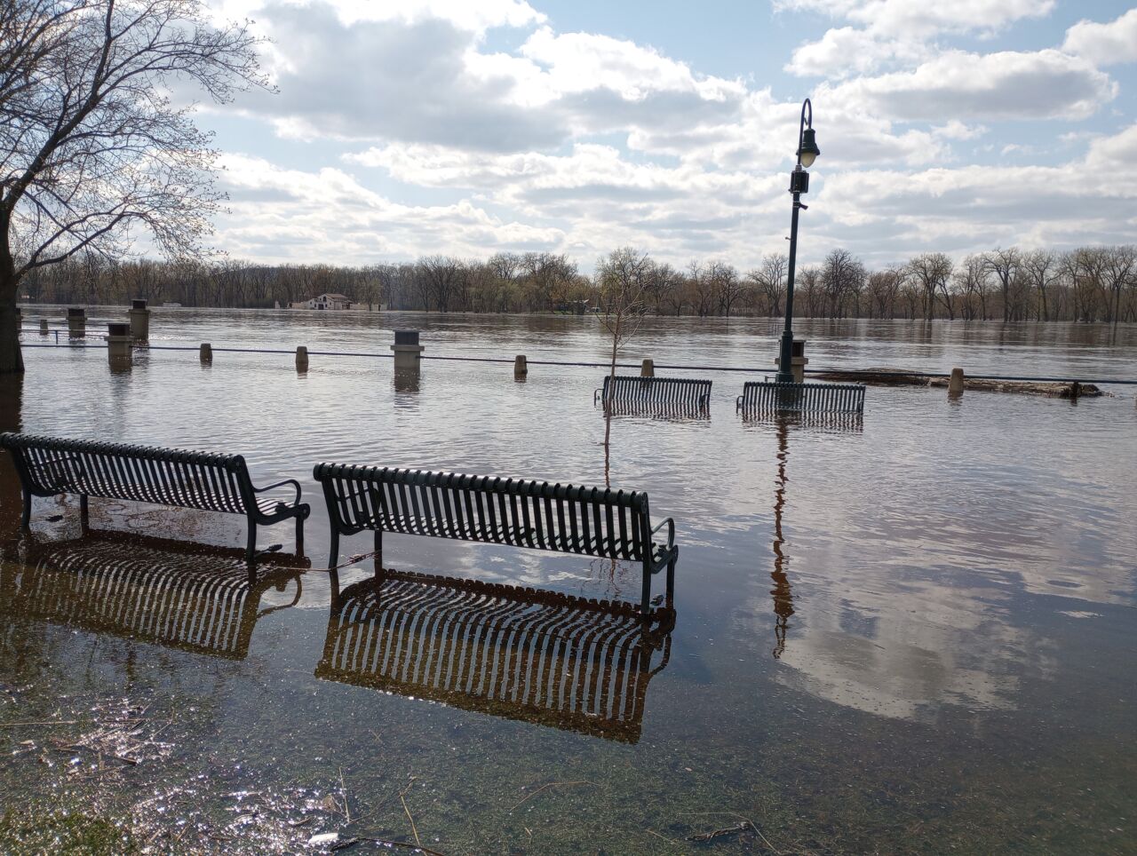
The crest has passed in La Crosse, but river levels could stay high for days

The question now is not how much higher the river will get, but how fast it goes down.
The National Weather Service says the Mississippi has peaked in La Crosse and river towns to the north. Forecaster Mike Welvaert says the threat is now being seen mostly downriver from La Crosse
“There is still some high water running through parts of Minnesota,” he told reporters during a Thursday Zoom conference about the flooding. “That’s still feeding the very northern end of the river, but as I mentioned, we are past crest now, all the way from the Twin Cities area all the way down to about La Crosse, and perhaps we’ll get past crest as far south as, say, Dam 10 in Guttenberg.”
Welvaert says heavy winter snowfall that melted quickly during a recent warm spell accounted for much of this year’s flooding, and hardly any snow fell during the season south of the Iowa-Minnesota border.
The unofficial crest was around 15.9 feet in La Crosse, compared to the earlier prediction of 16.1 feet, but that’s still the third-biggest flood on record in the city, behind 1965 and 2001.
Welvaert says any more melting could keep the river from receding quickly. Not much rain is expected in the next 7 days to prolong flooding in the area.


